NSW EPA LICENCE
In accordance with the NSW Protection of the Environment Operations Act 1997 (POEO Act) the data in the table below is published as part of
Learn moreRestoring Coastal Sand Drift - Improving Boating Access
In accordance with the NSW Protection of the Environment Operations Act 1997 (POEO Act) the data in the table below is published as part of
Learn more
Photographs of the five main beaches in the Tweed Sand Bypassing project area are taken monthly since the project was commissioned
Learn more
As part of the project's broader monitoring program, a summary of daily to monthly monitoring results such as wave and beach conditions is made available
Learn more
Tweed Sand Bypassing closely monitors coastal conditions such as the tides and waves. The wave climate is monitored by The Queensland Government and the tides
Learn more
Tweed Sand Bypassing relies on detailed marine and beach survey information to analyse how the beaches are changing in response to sand delivery and natural
Learn more
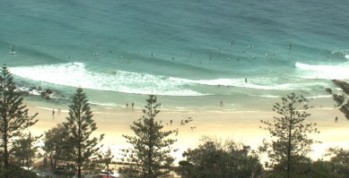
The ARGUS coastal imaging and monitoring system is an online service provided by the TRESBP through the University of NSW's Water Research Laboratory. Sixteen fixed
Learn more
Ecological monitoring of Kirra Reef has been conducted for the project intermittently since operations began in 2001. The latest report was completed in 2019. The
Learn more
Vertical aerial photography is captured twice a year of the Tweed Sand Bypassing project area. In addition, oblique aerial photography which is taken from a
Learn more
Sand flows northwards along the northern NSW coast at a rate estimated to be in the order of 500,000 m3 per year. This is due
Learn more