Beach Width Monitoring
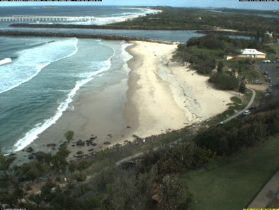
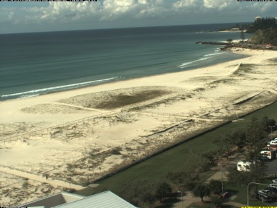
The University of New South Wales Water Research Laboratory maintains a coastal imaging system on behalf of TSB. Sixteen fixed land-based cameras across four locations collect and analyse images to provide quantitative data about shoreline movement.
The width of the beach is also mapped weekly, providing data for the evolving condition of beaches and the impacts of severe weather events. This data shows the relative change in shoreline position over time, given as meters from a common reference point.
Beach width data is included within our Advisory Committee quarterly overview presentations.

Images from the cameras are collected every daylight hour and processed to produce the equivalent of an aerial photo of the beaches every low, mid, and high tide.
A video time lapse of the images can be accessed via the links below.
Duranbah
Rainbow Bay

Greenmount - Coolangatta

Kirra
Tweed Heads/Coolangatta area beach locations

